
Article By EIH Subject Matter Expert
Dr. Sonika Sandhu
The whereabouts of the Sarasvati river has always been discussion in academic and non-academic circles. This river continues to hold the interest of the masses even after its disappearance. It has a lot of importance in societal and drainage disorganization.
It is associated with the collapse of the mighty Indus Valley Civilization around (4000-300 BCE). The Sarasvati earlier to be thought as a mythological Himalayan river is believed to have flowed on the NW plains of the Indian subcontinent through the states of Punjab, Haryana, Gujarat and parts of Pakistan. The existence of this river has been one of most speculated and oldest debates in the Indian geology and archaeology as well. In 1886, the dry channel of this bed near Rajasthan to the coast of Gujarat is said to have been traced by Charles Frederic Oldham. He also observed similar dried course in the Punjab plains in 1893, this was noted by Stein also in 1942. However it was only about a century later than this that the true paleo channel of the river was charted using modern methods of remote sensing (Wilhelmy, 1999; Yashpal et al., 1980; Sood and Sahai, 1983;Ghose et al., 1979; Bakliwal et al., 1998; Sahai, 1999; Kar, 1999;Royand Jhakhr,2001; Rajawat et al., 2003; Gupta et al., 2004;Radhakrishna and Merh, 1999; Valdiya, 1996, 2002, 2013, 2016;Bhadra et al., 2009).
Interestingly the Rig Vedic texts also provided important cues to the remote sensing as this river is mentioned frequently and is thought to have drained in the northwestern part of the continent. Rig Veda described the river eloquently in many of its hymns, the essence of which was that it was a mighty Himalayan stream with six major tributaries (hence the name Sapta-Saraswati), and that it used to flow independently into the Arabian Sea. Description of the river in the subsequent Yajurveda changed to Panchanadya (a combine of five rivers) and Panchadha (a river that is split into five distributaries). Rig Veda also describes the Saraswati as the first-ranking and the purest, which is fast flowing and ocean- like, having its course from the mountain to the ocean (“Ekachetatsaraswati nadinam suchiryati giribhya aa samudrat”; Ashtaka 5, Adhyaya 6, Anuvaka 6, Sukta 95, Varga 19, stanza 2; Max Muller, 1862, p242)
The need to study this river is important as it has multiple implications on various fields. Its studies can help in understanding climate river channel interactions, climate-society and landscape interaction, developing a chronology of the fluvial and aeolian architecture of parts of the Sarasvati plains (Saini et al., 2009; Saini and Mujtaba, 2010; Clift et al., 2012; Dixit et al.,2014, 2018; Singh et al., 2017), working out climate tectonic correlations. However despite the modern methods of remote sensing and isotopes signatures, the proposed course of this river is still not universally accepted. Main point of contention is its upstream channel in the Himalayan piedmont for the perennial water supple and correlating it with the timing of the river drying (Yashpal et al., 1980; Sood and Sahai,1983; Ghose et al., 1979; Sahai, 1999; Kar, 1999; Gupta et al., 2004;Valdiya, 1996, 2002).
Broadly there are three models which explain this prevalence of this river and its disappearance
- That Sarasvati was a glacial fed river which disappeared due to tectonic and climatic reasons
- Both Sutlej and Yamuna shifted course
- It was a monsoon fed river active throughout the Holocene.
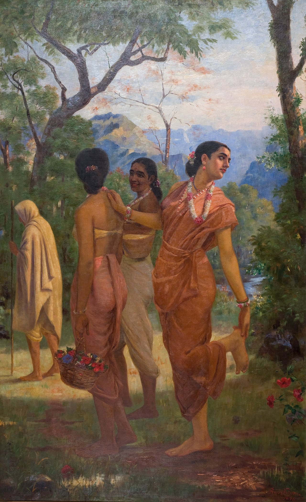
The Indus Sarasvati plains have a deep connect with the societies of the time. They supported the inhabitation during the Neolithic to fourth millennium period encompassing the early phases of the Indus Valley civilization. The Sarasvati plains had semi-arid to arid climate as compared to the humid Gangetic plains in the east, but still people inhabited these plains as they had less forest cover compared to the Gangetic plains. Evidence of Hakra culture (Pre Harappan) is found at Cholistan desert and also along the paleo channel of the river in Hisar and Fatehbad. The mature Harappan phase was a highly urbanized culture with large regional centres namely Mohenjo-Daro, Harappa, Rakhigarhi and Dholavira supporting village and satellite towns around. Agriculture and trading were the mainstay of the economy. It is proposed that the waters of the Sarasvati sustained the people in these occupations. By the late Harapan phase, the society was collapsing and had lost its urban character and was now a rural economy. The density of the dwelling units reduced in the western and central parts of the river basin along the channel. Possibly the flow of the river led to the migrations of the people. Geological studies have also pointed to reduced summer monsoons, and monsoon as such, this could have starved the river and in turn effected the people around, the urban society and agriculture.
REFERENCES:
Saini, H. S., Apurva Alok, and N. C. Pant. “The lost Saraswati River of Northwestern Indian plains: Status and way forward.” Episodes 43.1 (2020): 524-534.
- February 16, 2024
- 9 Min Read

- December 28, 2023
- 7 Min Read

- October 20, 2023
- 8 Min Read

- October 19, 2023
- 10 Min Read
- October 1, 2023
- 8 Min Read
- August 3, 2023
- 11 Min Read